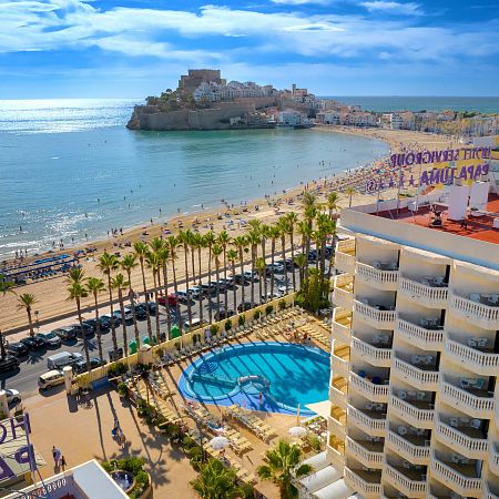
Sports and activities in Peñíscola
Its geographical location, surrounded by national parks and marine reserves, and the excellent Mediterranean climate make Peñíscola a unique place to practise many sports, especially aquatic sports, cycling and hiking. The Sierra de Irta, just a few minutes from the centre of Peñíscola, attracts thousands of cyclists and hiking enthusiasts every year due to its magnificent routes next to the sea, cliffs and coves. A unique spot to enjoy nature while practising your favourite sport.
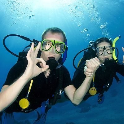
Aquatic sports
Whether you are a fan of aquatic sports or if you just like an adventure, come and enjoy the waves, the wind and the aquatic sports that Peñíscola offers you.
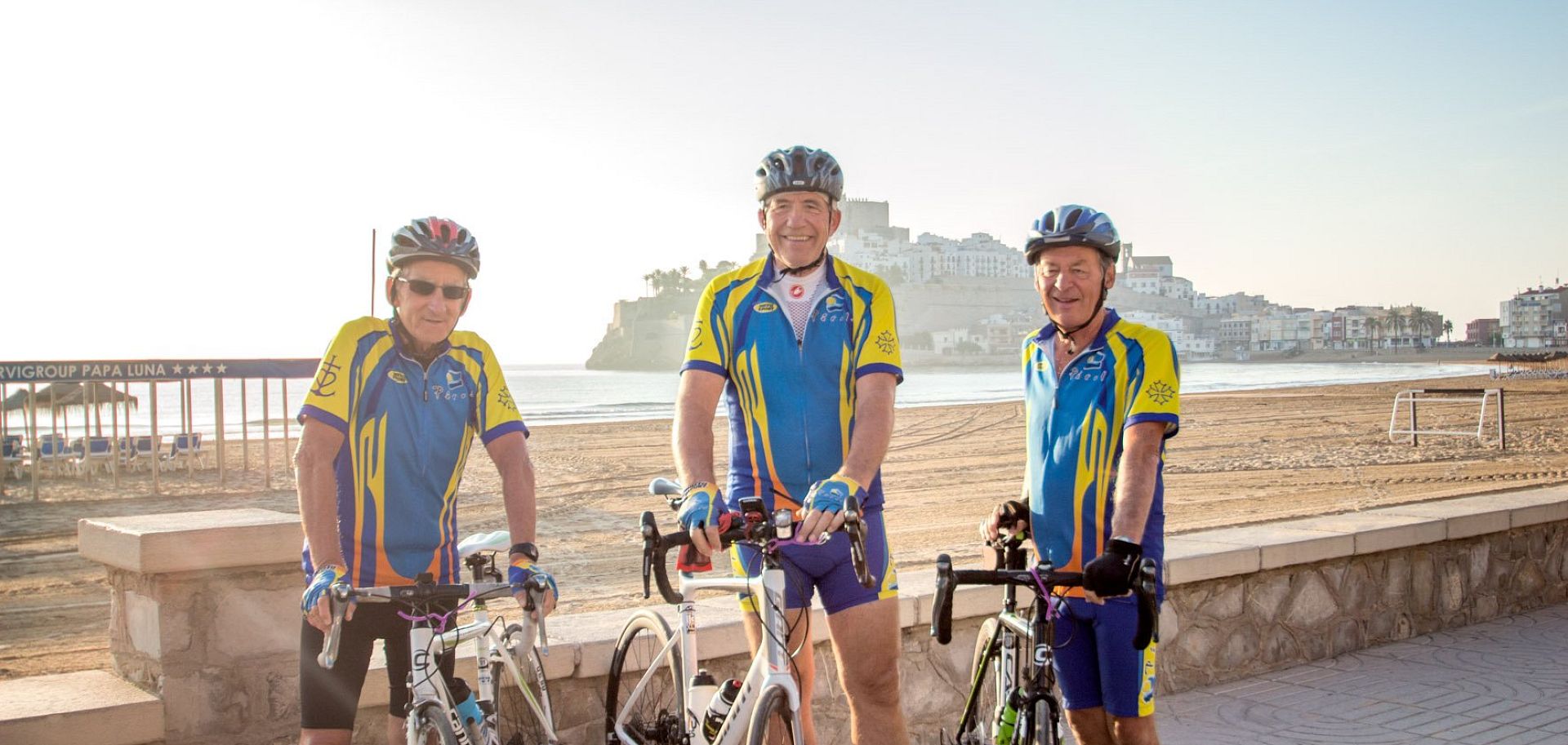
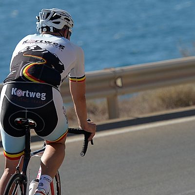
Cycling
The climate, the proximity of the Sierra de Irta and the signposted cycling routes make Peñíscola the perfect destination for mountain bikers or touring cyclists. Put yourself to the test at the natural park in Sierra de Irta.
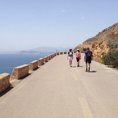
Hiking
Enjoy walking along the cliffs of the Natural Park of Sierra de Irta, discovering its unspoilt coves and its stupendous natural beauty. A unique experience!
Nearby hotels
Discover other Servigroup Hotels located in Peñíscola and find the accommodation that best suits your trip. Different options to enjoy your stay with the quality and service of Servigroup.
Hotel Servigroup Papa Luna
Other activities that may interest you
Discover other activities and options you can enjoy during your stay. Ideas to continue exploring the destination and make the most of every moment of your vacation.


